Hardap property guide

Hardap at a glance
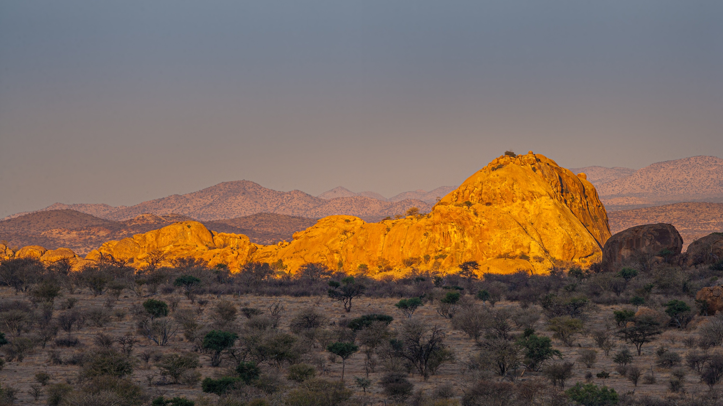
Hardap stretches the entire width of Namibia, from the Atlantic Ocean in the west to Namibia's eastern national border. In the northeast, it borders the Kgalagadi District of Botswana, and in the southeast, it borders the Northern Cape Province of South Africa. And even though the region is one of only two regions that span the entire width of the country, the Hardap Region is one of the most sparsely populated and is rivalled by its southern neighbour, the Karas Region. Most of its inhabitants belong to the Nama people, but there is another distinctively different indigenous population group known as the Rehoboth Basters. The Baster community is descendants of the Doorslandtrekkers who founded the Hardap Region's most northern town of Rehoboth. Mariental is the capital of the region, but it is in the surrounding areas that it finds its true tourism potential. Just outside of the capital is the Hardap Dam, which is where the region gets its name, this is also where the Fish River flows south, through the country, joining the mighty Orange River in South Africa. One of the most remarkable points of the river’s journey is when it passes through one of Namibia's Natural Wonders, The Fish River Canyon. The region is also described as one of Namibia's most scenically diverse and entertaining regions to travel, with two very different deserts (the Kalahari and the Namib), the majestic Naukluft and Zaris Mountains, the eastern and western escarpments, as well as many important historic sites. The region offers something to experience in every area of general and special interest - from the awe-inspiring landscapes that are home to a broad variety of wildlife and many endemic plant species. The major road networks which provide access to the Kalahari in the eastern parts of the region as well as to the Maltahohe area and to the Namib Naukluft Park in the western parts of the region respectively, cross with Namibia's main north to south route in the vicinity of Hardap's capital, Mariental.


